Portfolio
Our Work
Real results from real missions
Professional aerial mapping, orthophotos, 3D models and volume measurements with the DJI Matrice 4E — high-accuracy photogrammetry for construction, municipalities and forestry.
Professional aerial data powered by DJI Matrice 4E and photogrammetry
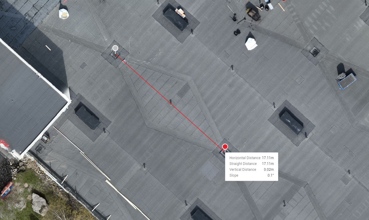
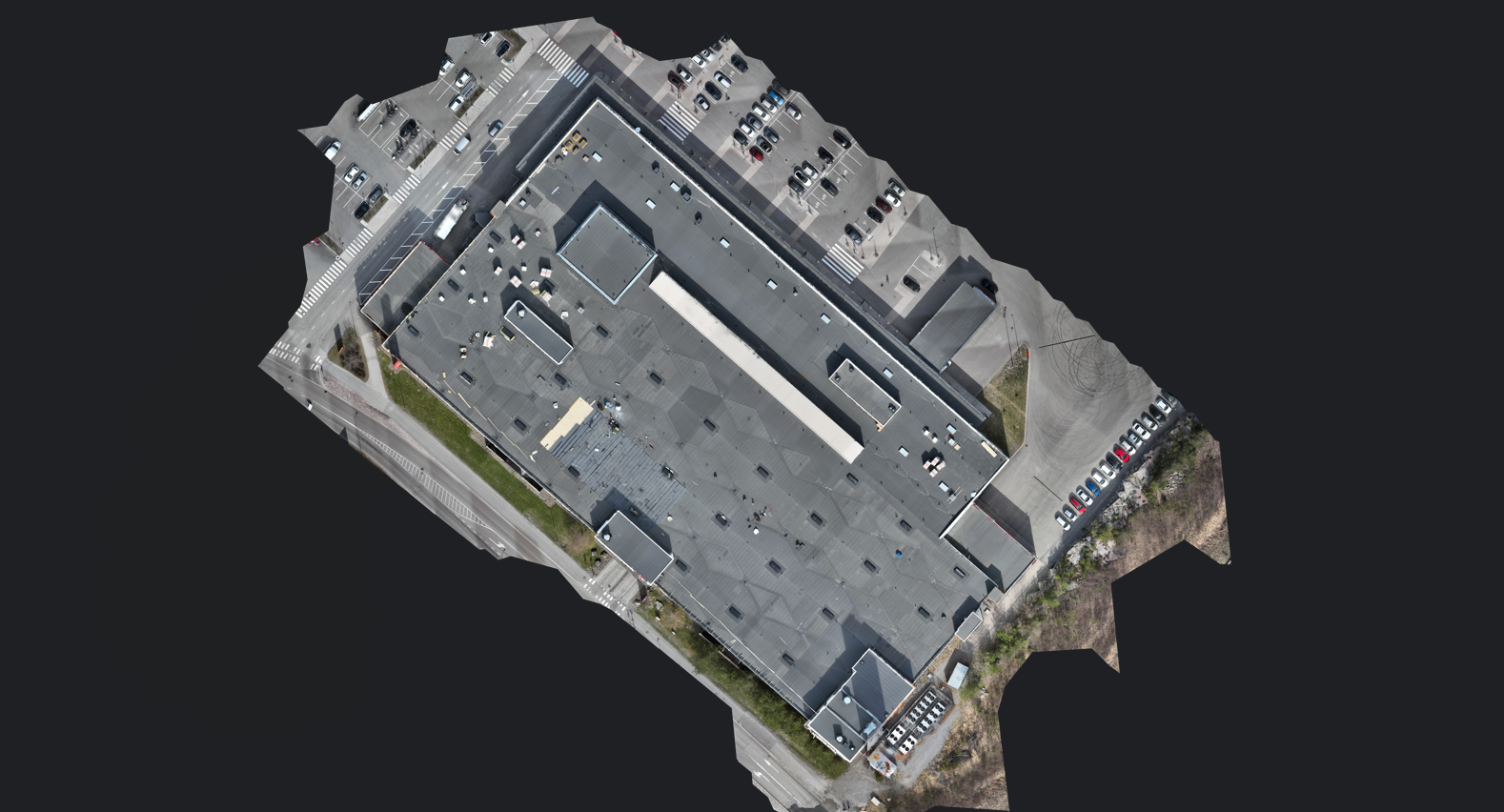
Georeferenced aerial imagery captured with RTK GPS precision. GeoTIFF output ready for any GIS platform — ideal for area planning, documentation, and change detection.
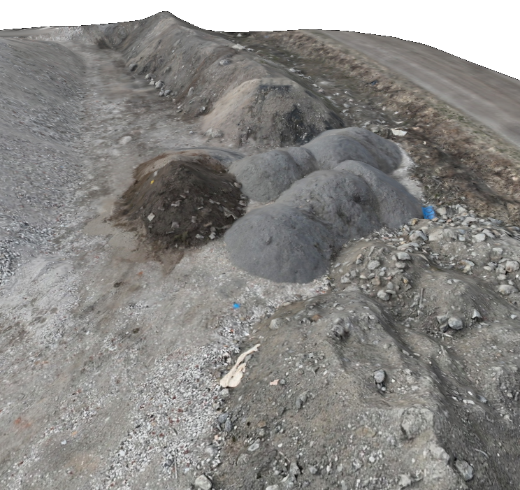
Photogrammetric reconstruction from overlapping aerial images — dense point clouds, textured mesh models, and digital surface/terrain models (DSM/DTM) with survey-grade accuracy.
High-resolution visual inspection of roofs, facades, bridges, towers, and infrastructure. Safer and more detailed than manual access — no scaffolding or rope access required.
Accurate stockpile volumes and cut/fill earthwork calculations derived from photogrammetric surface models. Track quantities and site progress without manual surveying.
Indicative prices — you get an exact quote for every project within 24 hours
Final price depends on site size, chosen deliverables and travel distance. For smaller sites we agree pricing separately.
Site surveys, progress monitoring, volume calculations, and as-built documentation throughout the entire project lifecycle.
Urban planning, infrastructure inspection, land management, and public facility surveys with official-grade accuracy.
Stand mapping, canopy analysis, terrain modelling, and harvest planning — covering large areas quickly and accurately.
Real results from real missions
From first enquiry to finished data — clear and straightforward
We discuss your site, your goals and the data you need, then send a tailored quote within 24 hours.
We fly the DJI Matrice 4E over your site with RTK GPS precision, capturing high-overlap aerial imagery.
Photogrammetry turns the imagery into orthophotos, 3D models, point clouds or volume reports.
You receive the finished data in the formats your team uses, ready to act on.
FMS RaptorScan is a drone mapping and inspection company based in Vaasa, Pohjanmaa. We fly the DJI Matrice 4E — a professional survey drone equipped with RTK GPS and a 48 MP mechanical-shutter camera built for high-accuracy photogrammetry.
Whether you need a one-off site inspection or a recurring mapping programme, we adapt to your workflow and deliver results in the formats your team uses.
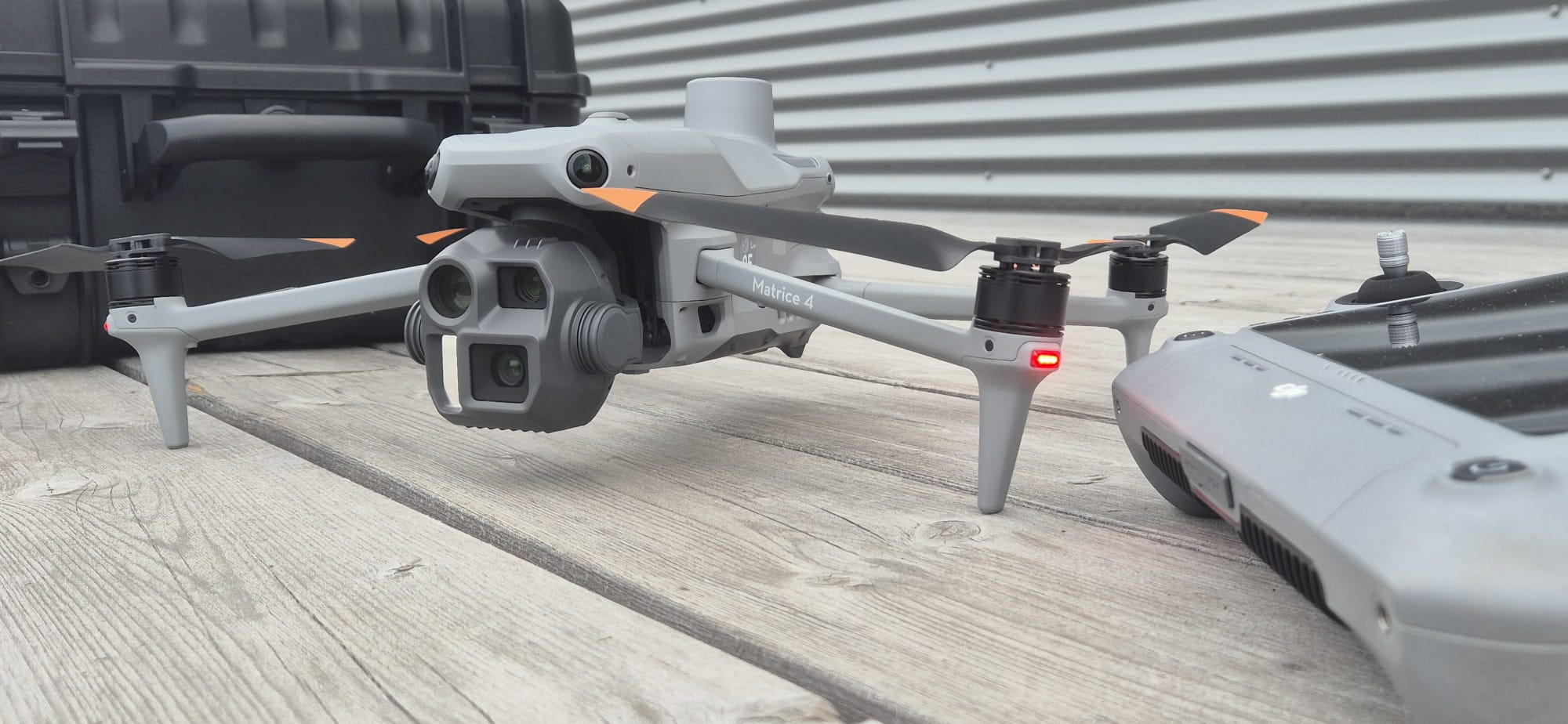 DJI Matrice 4E — 48 MP · RTK GPS
We're based in Vaasa and serve all of Pohjanmaa (Österbotten) and the surrounding regions. We travel further by agreement — just note the location in your enquiry.
Pricing depends on the size of the site, the type of deliverable and travel distance. Every project gets a fixed quote within 24 hours — just describe your site and we'll get back to you.
Depending on the service: georeferenced orthophotos (GeoTIFF), 3D models (textured mesh / OBJ), point clouds, digital surface and terrain models (DSM/DTM), volume reports or inspection imagery — in the formats your team uses.
With RTK GPS and a 48 MP mechanical-shutter camera we achieve positional accuracy down to around ±2 cm, suitable for survey-grade work.
Yes. We operate under EU and Traficom drone regulations and take care of the flight planning and authorisations the job requires.
A typical site is flown in a single visit, and processed deliverables usually follow within a few days, depending on the size and complexity of the project.
Tell us about your project and we'll get back to you within 24 hours with a tailored solution.